Here’s our pick of the top 10 hikes in the Minneapolis/Saint Paul metro area for a great workout.
Whether you simply enjoy a challenge or you’re training for a race or hiking adventure, there are several great spots in the Twin Cities to choose from.
What did we look for? Plenty of big hills, plenty of miles and lots of natural surface trails. This combination is sure to get your heart pumping, your blood flowing and your muscles working.
Most of these will give you a great workout all year long. A few are best for 3-season hiking due to the groomed ski trails that take over most of the trail system during the winter.
PRO TIP: To find the hills, look at the winter map for these parks. Ski trails are rated easy, intermediate and advanced. Look for the intermediate and advanced ski trails and those will offer you the best hills for hiking the rest of the year. (Just don’t hike them in the winter—groomed ski trails are for skiers only!)
PRO TIP: Wearing and using quality gear makes all our hiking adventures better. This is especially true when the hikes are hard or long (or both!).
Let’s get started:
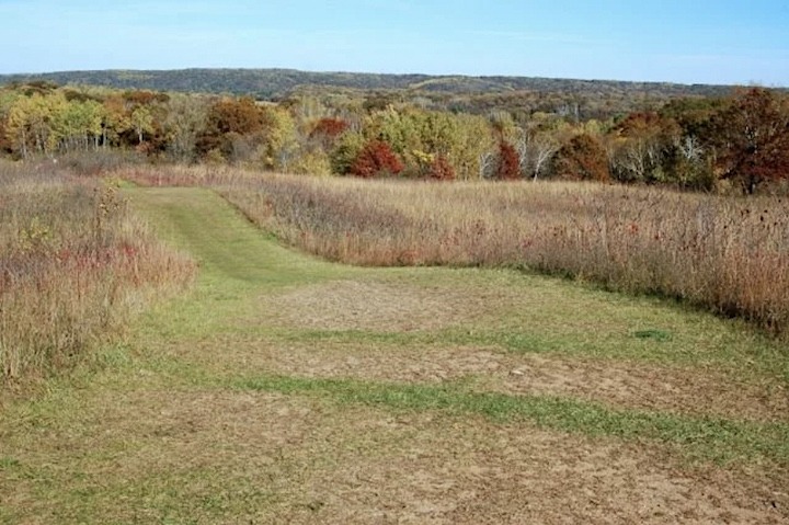
Afton State Park
Afton (Washington County) has some very challenging hills on its east side, especially, rising away from the St. Croix River. Some of these are steep enough to compare with mountain trails, no joke!
(This area is hilly enough to have a downhill ski resort next door—that tells you something!)
The entire park is rolling, though, so almost all the trails will give you some hill work except the North and South River Trails. These follow the St. Croix and are flat, except the hills it takes to reach it.
The topographical trail maps show you the layout of the terrain. The Afton Summer trail map shows 20 miles of mostly natural-surface trails, so add distance to the hills for an extra good workout!
The Afton Winter trail map shows many of the summer trails are groomed for skiing, but you still have 12 miles of hiking or snowshoeing trails to choose from in the winter.
You’ll need a Minnesota State Park permit for your vehicle.
Cottage Grove Ravine Regional Park
While the trail system isn’t as long at Cottage Grove Ravine (Washington County) as other local parks, there are some good hills since the park borders the St. Croix River.
Check out Ravine’s topographical Summer map to see where the steepest hills are if you want to target those. There are about 7 miles total of natural surface trails.
Most of these trails are groomed for skiing in the winter, but you could get a good workout on the south side snowshoe trail because of the steep hills. Here’s Ravine’s Winter map.
Washington County (or Anoka County) vehicle permit needed.
Elm Creek Park Reserve
Elm Creek (Hennepin County) has more than 50 miles of hiking trails within its 4,900 acres. You’ll get a better workout on the natural-surface trails, and there are decent hills throughout the park.
Then there’s an additional 14 miles of trails in the mountain bike park on the east side. These are open to foot traffic all year.
Here’s the Elm Creek Summer trail map for the non-snowy months. Winter offers less for hikers as the park focuses on its cross country ski trails. There’s a 6+ mile loop plus the trails within the mountain bike park. Here’s the Elm Creek Winter map.
No vehicle permit needed.

Hyland Park Reserve
As with Afton, Hyland (Hennepin County) also hosts a downhill ski resort, which tells us there are plenty of hills in the area. Hiking hills is a great workout.
Between the paved and natural-surface trails are 18 miles of options in spring, summer and fall. Half of those are dirt or grass. Here’s the Hyland Summer map.
See all those blue and black-marked ski trails on Hyland’s Winter map? Those mean hills! Hikers and snowshoers aren’t allowed on the groomed ski trails, but there still 12 miles of winter hiking available.
No vehicle permit needed.
Lake Elmo Park Reserve
Lake Elmo (Washington County) is another sprawling park with 20 miles of great hiking, some on nice hills. There are plenty of natural-surface trails to choose from no matter your preferred distance.
Here is Lake Elmo’s Summer map. In the winter, many of the trails are groomed for skiing, making them off-limits to hikers, of course. But there are still over 7 miles of multi-use trails for winter hikers and snowshoers. Take a look at Lake Elmo’s Winter map.
Washington (or Anoka) County vehicle permit needed.
Lake Rebecca Park Reserve
While Lake Rebecca (Hennepin County) has over 25 miles of hiking trails in the park, the natural surface trails are mostly huge loops. Your best bet for a hill workout that isn’t 10 miles long or an out-and-back hike is the mountain bike park.
Click here to the Lake Rebecca park page, then scroll down for the maps. The Singletrack map is for the bike park—the intermediate and advanced trails will be the most hilly and steep.
No vehicle permit needed.
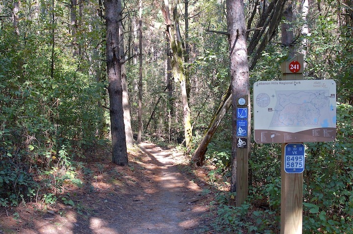
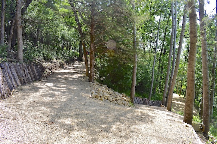
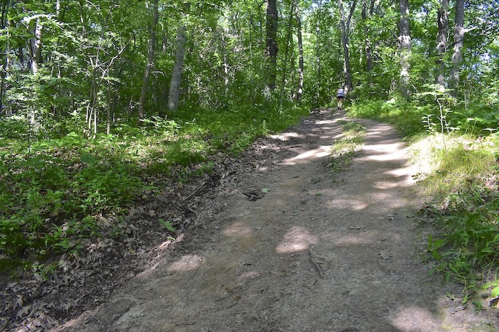
Lebanon Hills Regional Park
2,000-acre Lebanon Hills (Dakota County) is one of the largest in the Cities, and just a few minutes from downtown Minneapolis.
The hills aren’t as large as at Afton, but there are plenty of them on the 20+ miles of trails to explore. These are divided between the larger East sector of the park (15 miles) and the mountain bike park in the West sector (another 5.5 miles). Here’s the Lebanon Hills Summer/Spring/Fall trail map.
In the winter you still have plenty of options for hiking or snowshoeing at both the mountain bike park and in the park’s East sector. There are more than 14 miles total. Here’s the Lebanon Hills Winter trail map.
No vehicle permit needed.
Murphy-Hanrehan Park Reserve
Largely undeveloped Murphy-Hanrehan (Scott County) has more than 18 miles of natural-surface trails for hikers. These are available all year except during the cross country ski season, when most of them are groomed for skiers.
Since the park is known for its intermediate and advanced ski trails, you can count on many large hills to get your heart rate up when hiking.
Here’s the Murphy-Hanrehan Summer map. There’s also a mountain bike park on the west side that’s open to hikers, including winter hiking and snowshoeing during the winter.
As the Winter map indicates, there are some multi-use and winter hiking trails available, too, just not as extensive.
No vehicle permit needed.
St. Croix Bluffs Regional Park
Like the other parks on the east side of the Cities that border the St. Croix River, St. Croix Bluffs has some nice steep hills that offer a great workout for hikers.
There are almost 10 miles of mostly natural-surface trails for most of the year. Here’s the topographical Summer map for St. Croix Bluffs.
In the winter, most of those trails are groomed for skiers. The only section for multi-use (including hikers) is mostly flat. So there are better options for winter hiking if you’re looking for a good workout.
Washington (or Anoka) County vehicle permit needed.
William O’Brien State Park
Also on the St. Croix River, but on the north edge of the metro area, is William O’Brien. There are lots of good hills for hikers in the spring, summer and fall, and 12 miles total of natural-surface trails. Here’s the William O’Brien Summer map.
Winter is a different story. All those great hills are groomed for skiers during the snowy months, and winter hiking is reduced to the Riverside Trail on the east side. It’s very beautiful, but most of it is flat other than the long climb back up to the parking area at the Visitor Center. Here’s the Winter map if you’re interested.
Minnesota State Park vehicle permit needed.
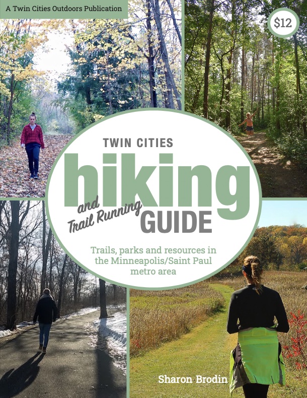
Twin Cities Hiking & Trail Running Guide
Published in 2020 and updated in 2023, our 48-page digital Hiking & Trail Running Guide is the easiest way to find hiking and running trails in all seven counties of the Twin Cities metro area.
You’ll like these, too…
- Hiking & Running Trails in the Twin Cities
- Why Nature is So Good for Us
- Winter Hiking in Twin Cities Parks

- New Winter Gear: How Do These Perform? - November 29, 2023
- Paddle North: SUPs, Kayaks and More - November 20, 2023
- 2023 Holiday Gift Guide for Outdoor Lovers - November 10, 2023