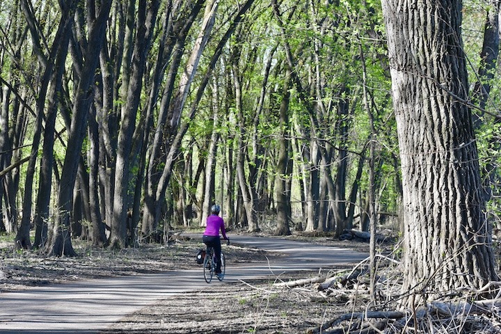
Ramsey County has paved bike trail systems in many of its parks. The county also hosts several regional and state bike trails, with lots of connections to the parks.

A bit of warning: For some reason the Ramsey County folks neglected to list mileages on both their maps and on many of the Park information pages. That’s quite an oversight when we’re talking about trails! We’ll add those in as we can find them.
Here’s an overview map of the bike trails in Ramsey County, all on one map.
Let’s get started…
Battle Creek Regional Park (Saint Paul & Maplewood)
Battle Creek Regional Park offers plenty of biking, including on paved multi-use trails and mountain biking trails. This park is split into two sections, East and West, with McKnight Road dividing the two. There are singletrack trails are on the West side. Here’s the full map.
The 10 miles of mountain bike trails were developed in partnership with Minnesota Off-Road Cyclists. They have better information than the City of Saint Paul about these trails. Here’s the link to their maps. The trails are groomed for cross country skiing in the winter, so no fat biking.
Beaver Lake County Park (Saint Paul)
Little Beaver Lake Park offers a 1-mile multi-use trail loop around Beaver Lake—perfect for families biking with young children. There are links to summer and winter trails on the linked page above.
Bruce Vento Regional Trail (Saint Paul, Maplewood, Vadnais Heights)
The Bruce Vento Trail is a 7.5 multi-use paved trail between the Sam Morgan Regional Trail on its south end to near Highway 694 in Vadnais Heights on its north end. It intersects the Gateway Regional Trail. Here’s the trail map.
Cherokee Regional Park (Saint Paul)
One of St. Paul’s most popular parks, Cherokee is sandwiched between urban development and the Mississippi River. The trail follows the Park road. Here’s the Cherokee map.
Como Regional Park (Saint Paul)
Como Park gets hundreds of thousands of visitors every year, and for good reason. This popular Park offers a wide variety of family-oriented activities including a wonderful little Zoo and a large picnic area.
There are 2.3 miles of paved multi-use trails meandering throughout the Park and around Como Lake. You’ll be sharing the trails with lots of hikers, runners, strollers and dogs so be aware! A perfect family destination. Here’s the Como Park map.
Crosby Farm Regional Park (Saint Paul)
Crosby Farm has almost 7 miles of paved multi-use trails that take you through woods, wetlands, around its two lakes and along the Mississippi River. Fort Snelling State Park is just across the river. Here’s the map. This park is a very scenic detour off the Sam Morgan Regional Trail.
Crosby Farm tends to flood when the river is high. You can check this page for closures.
Fort Snelling State Park (Saint Paul)
Fort Snelling State Park has 18 miles of gravel hike/bike trails and 5 miles of paved multi-use trails. (Pike Island’s trails are for foot traffic only.) Much of the trail system follows the Minnesota River with a bridge over to Picnic Island. Why not bike it with the family, then have a picnic on Picnic Island? Here’s the Fort Snelling map.
Fat tire bikers are welcome on the multi-use trails in the winter, about 6 miles total. Here’s the winter map.
Gateway State Trail (Saint Paul, Maplewood, North Saint Paul)
The Gateway State Trail is a paved multi-use trail that runs 18 miles from St. Paul to Pine Point Regional Park near Stillwater. The terrain is fairly level, but the scenery varied: from urban Saint Paul through woods, parks, fields, wetlands and past lakes. Here’s the Gateway Trail map.
Hidden Falls Regional Park (Saint Paul)
Hidden Falls has almost 7 miles of paved multi-use trails, much of it with fantastic views of the Mississippi River. Try taking the short dirt loop over Hidden Creek on the north end for a little mountain biking. Here’s the map.
Indian Mounds Regional Park (Saint Paul)
Indian Mounds was set aside to honor Native Americans’ sacred burial grounds. Take some time to read the signs there. There are paved multi-use bike trails that overlook the Mississippi River and the Saint Paul skyline. Here’s the map.
Long Lake Regional Park (New Brighton)
Long Lake Park is mostly known for its very popular swimming beach and paddling on Long Lake. The Park also has 3+ miles of paved multi-use trails for biking. Take the trail heading north out of the Park and it links to Rice Creek West Regional Trail. Here’s the Long Lake Park map.
Mississippi Gorge Regional Park (Minneapolis)
Even though this Park is in Minneapolis, we’re listing it here, too, because you can access it from the Saint Paul side of the River. We couldn’t find a good PDF map of the Park, so it’s hard to tell from the Google Map where it ends to the north! Here’s the Google Map.
Phalen-Keller Regional Park (Saint Paul and Maplewood)
494-acre Phalen Regional Park has 3+ miles of very scenic paved multi-use trails that circle Lake Phalen. Ride up to the Keller segment for another mile. Here’s the map for Keller. Here’s the map for Phalen.
Rice Creek North Regional Trail (Circle Pines & Lino Lakes)
The southern segment of Rice Creek North Regional Trail is in Ramsey County. A couple different sources have discrepancies on how much of the trail is completed. Here’s the map Ramsey County links to which suggests part of the trail is still to come. But another source suggests its complete.
Rice Creek West Regional Trail (New Brighton)
The 5-mile Rice Creek West Trail stretches from Long Lake Regional Park in New Brighton into Anoka County. You’ll find maps for the Rice Creek sections here. Combine the straightaway with the trails in Long Lake Park and you’ll have a nice ride.
Sam Morgan Regional Trail (Saint Paul)
A 9-mile paved multi-use trail that has beautiful views of the Mississippi River and the St. Paul downtown skyline. It’s a little hard to read on the map—the Sam Morgan Trail is in purple, it runs between Hidden Falls Regional Park and Indian Mounds Regional Park on the north bank of the River.
Tony Schmidt Regional Park (Arden Hills)
There are some paved multi-use trails here at the rather spread-out Tony Schmidt Park. You can check out the maps listed on that page for reference.
Vadnais/Snail Lakes/Sucker Lake Regional Park (Shoreview)
There are over 5 miles of multi-use trails here at Vadnais/Snail Lakes, both paved and dirt. It’s beautiful, varied landscape including woods, wetlands and open plains. Plenty of rolling hills, too. You’ll be sharing the trails so be aware of others.
As you can see from the park page that there are several trail segments that you can bike together by taking advantage of the neighborhood roadways. The map includes the Sucker Lake area, too.
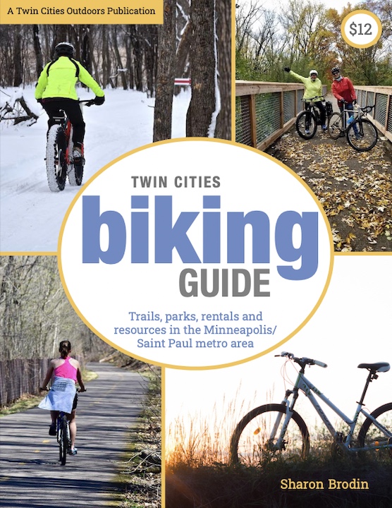
Twin Cities Biking Guide
Published in 2020 and updated in 2023, our 54-page digital Biking Guide is the easiest, most convenient way to find bike trails in all seven counties of the Twin Cities metro area.