Shoreview/Ramsey County • No fee
The southernmost section of Vadnais-Snail Lakes Regional Park has about 6 miles of beautiful trails for hikers next to East and West Vadnais Lakes.
This is a rather sprawling park system around five lakes that’s surrounded by development. While the park offers several hiking options, I’ll focus on the trails at East and West Vadnais Lakes in this blog post.
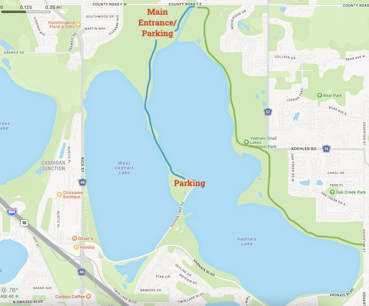
My hike began at the main park entrance on the north end of these side-by-side lakes. I took the paved trail south along the land bridge between them to the south parking lot, then back up and through the woods to the footbridge.
I covered maybe 2.25 miles, which was all I had time for that morning. I know I would’ve enjoyed the trail on the other side of East Vadnais Lake, too, so I’ll need to go back soon.
What to Love about Vadnais Lakes Hiking
This area is the southernmost section of Vadnais-Snail Lakes Regional Park and is quite close to Highway 694 with its distant traffic noise. Beyond that, though, it’s easy to forget you’re this close to the city.
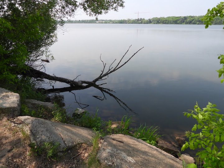
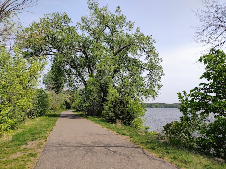
I had skied this park on my first visit a couple winters ago, so I already knew there are great lake views. That’s one of my favorite things about this hike—there are constant views of at least one, and usually both, of the lakes.
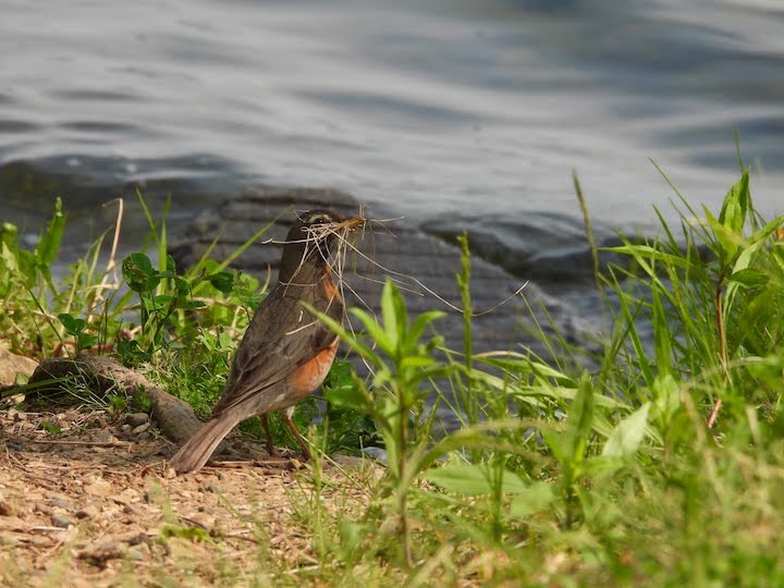
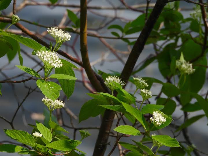
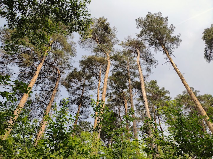
There are plenty of trees along the trail, with lots of wildflowers and birds. It was quite well-traveled on that particular morning too, with a couple friendly folks ready to stop for a short chat.
The mile trail to the southern parking area is super flat. But the rest has a few gentle hills to add more interest. From the park’s summer map, you can see the trail remains paved until partially around East Vadnais Lake, where it turns to natural surface until it enters a neighborhood.
Probably the only disadvantage, if you can call it that, is the lack of a trail loop. Everything is out-and-back within the park. Definitely not the end of the world, though.
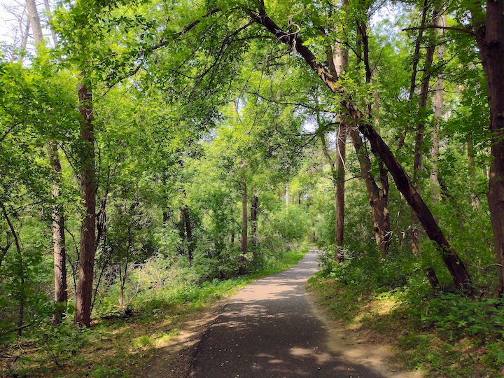
I especially love the short section between the north parking area and the footbridge. The main paved trail goes up and down a couple hills and winds through mature trees. There’s a dirt spur trail or two off the main trail, too, which are always fun to explore.
Starting from the north parking lot, the trail between the lakes is a mile long, so a 2-mile out-and-back. The trail from the north lot across the footbridge and along the east side is just over 2 miles long if you hike the whole thing, so a 4+ mile out-and-back. There’s plenty of shade no matter which trail you choose.
Other Activities at Vadnais Lakes
Biking is popular on these trails, too. And, again, looking at the County’s map, you can see that the paved trails there connect with other road-side trails that lead into the other sections of the park.
Take in all of Vadnais-Snail Lakes Regional Park—including this area around East and West Vadnais Lakes—and you’ll have a very nice ride.
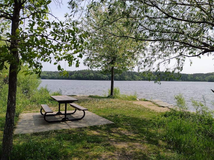
There’s a lakeside picnic table next to the south parking lot with gorgeous views if you’d like to add a picnic to your time there.
In the winter, Ramsey County grooms these trails for cross country skiing.
How to Get There
The main entrance to the Vadnais Lakes section of Vadnais-Snail Lakes Regional Park is just east of Rice Street on the south side of County Road F. My GPS app calls that entrance “Vadnais-Sucker Lake Regional Park.” It’s not far from the intersection of 694 and Rice Street.
To park in the south lot that sits between the two lakes, you’ll take Vadnais Blvd (the first intersection north of 694/Rice St) east from Rice, then northeast on Sucker Lake Road.
Twin Cities Hiking & Trail Running Guide
Published in 2020 and updated in 2023, our 48-page digital Hiking & Trail Running Guide is the easiest way to find hiking and running trails in all seven counties of the Twin Cities metro area.
You’ll like these too…
- Cross Country Ski at Vadnais-Snail Lake Regional Park
- Hiking and Running Trails in Ramsey County
- Paddle Board at Snail Lake Regional Park

- New Winter Gear: How Do These Perform? - November 29, 2023
- Paddle North: SUPs, Kayaks and More - November 20, 2023
- 2023 Holiday Gift Guide for Outdoor Lovers - November 10, 2023